Multi-scale Hexagons
02 Aug 2019https://github.com/kelmanchiang/multiscale-hexagons
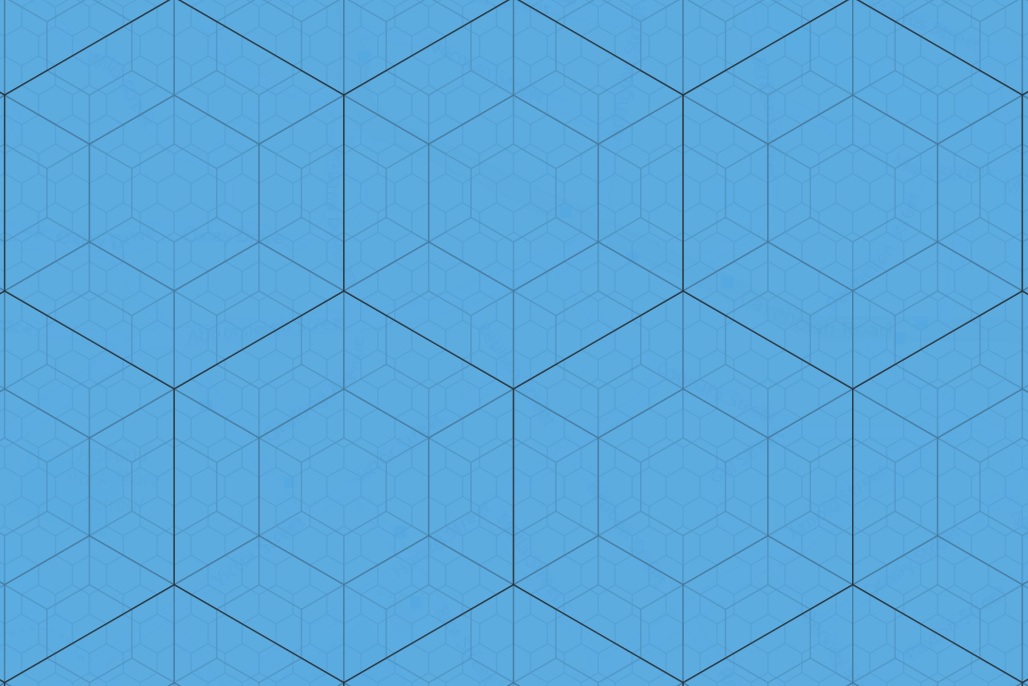
Challenge
Frustrated at existing open source solutions (Uber’s H3, Google’s S2), I decided to code out my own Python script to generate multi-scale, tessellating hexagons.
I needed a simple shapefile of hexagons, that tesselate neatly along its vertices/edges, and in multiple sizes so that my scale of analyses could be drilled up or down as required.
In my case, I wanted them in shapefiles so that I could load it into Tableau, QGIS and PostGIS databases as a base spatial dataset further analyses with other datasets.
Method
When I was writing the code, I didn’t foresee myself having to run this code frequently, and likely only needing to produce them for small areas, like cities. I chose a projected coordinate system, as I needed the units of the hexagon sizes to be understandable by the end user, and went for a UTM-based one so that it can be replicable worldwide.
Results
Limitations
Due to the choice of the projection coordinate system, distortion would occur if UTM zones are crossed. Larger hexagon sizes would suffer greater distortion.